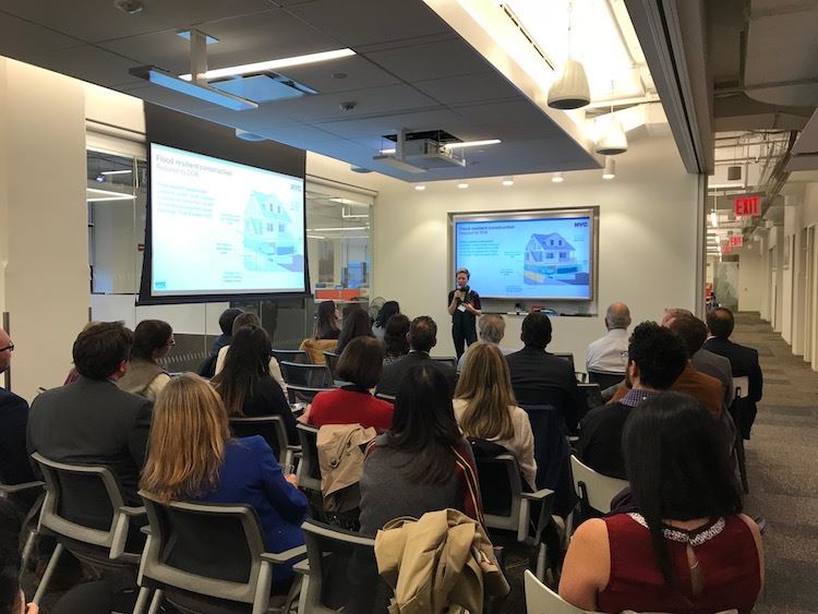
ver 50 people from across the industry were in attendance on October 30th as Melissa Herlitz and Jean You of the NYC DCP gave a presentation on the “Flood Resilience Zone Text Update.”
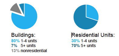
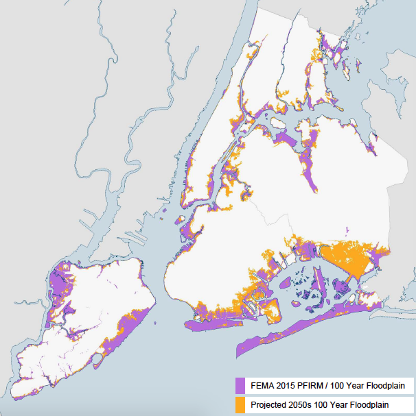
According to the FEMA Flood Map – Citywide Flood Risk – New York’s City’s flood risk is high. The floodplain affects a large geography and most community and council districts.
- 100 Year Floodplain (FEMA 2015 PFIRM)
- Population: 400,000
- Buildings: 71,500
- 50 of 59 Community Boards Buildings
- 45 of 51 Council Districts


Planning a Resilient NYC
Photos from October 30, 2017 Presentation


